The changing time zones giveth and they taketh away. We woke up today at 7, not having anything firmly on the calendar except to log in at 9am on the dot to purchase (or, rather, to attempt to purchase) shuttle tickets for Zion tomorrow. Because of Covid, the Zion shuttles, which are the only vehicles allowed in the Zion Canyon portion of the park, are running at about 1/3 capacity. Because of this, the park instituted a lottery system to get shuttle tickets. Tickets have been selling out months in advance, but for late planners (like ourselves), they make some available at 9am the day before. We didn't want to bank on this, so last week we purchased tickets on a private shuttle, but the limitation with that was that we needed to be there at a very specific time, and also required that we be done with our hike at a very specific time. We hoped that today we could get entry tickets that would allow us more freedom, particularly on the end side, where there would be no hard deadline.
 |
 |
But, shortly after waking up, Justin realized that we needed to be online at 9 Mountain time, which was 8 in Arizona. We had no internet in our room, and wouldn't be anywhere with internet by 8, no matter how fast we packed and drove back to civilization. Well, you can't lose if you don't play. But you can't win, either. So we got packed and got on the road, in no particular hurry. We realized we were back in cell phone range when our phones simultaneously got notifications from the Duolingo app as we approached Jacob Lake.
 |
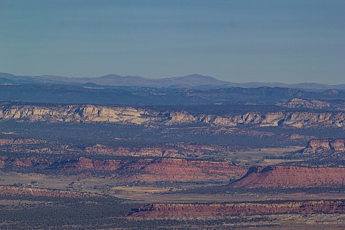
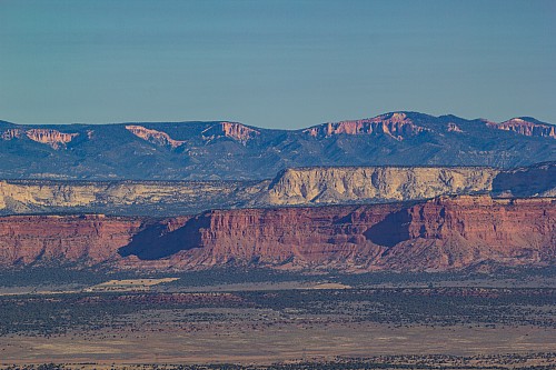
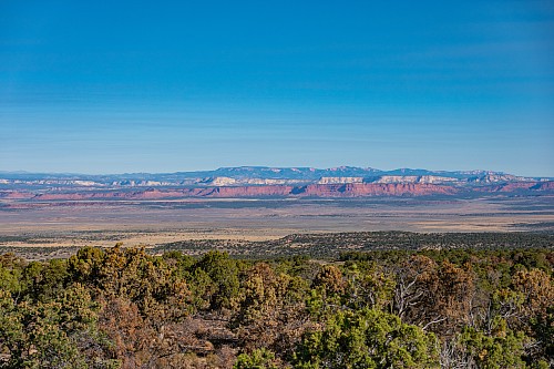
We stopped briefly at the Le Fevre overlook, which offers sweeping views to the north of the "Grand Staircase." The staircase is composed of different layers of rock, with the youngest being the tallest and the oldest being the youngest. The area around the Grand Canyon (and Le Fevre) is the bottom of the staircase, and from there the steps are the Vermillion Cliffs, the White Cliffs, the Grey Cliffs, and finally the Pink Cliffs. From Le Fevre it was very easy for us to make out the Vermillion Cliffs, White Cliffs, and Pink Cliffs. We can only assume that the Grey Cliffs sit right underneath the Pink Cliffs and don't stand out because they are, well, grey.
 |
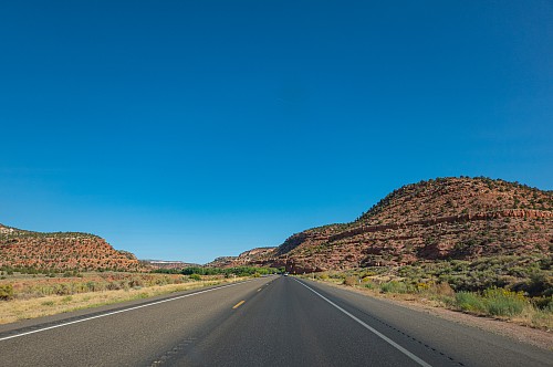 |
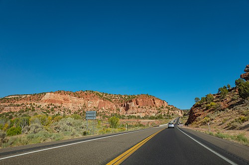
Influenced by hearing about Mary Morello yesterday, we listened to some Body Count that Justin had on his iPhone. It's crazy that this was almost 30 years ago. The roads today were pretty empty, but seemingly every vehicle (except for us) had a trailer. It was incredible. We stopped in Fredonia for some caffeine and to do a Duolingo lesson, then veered north on 89A back into Utah at Kanab. Interestingly, just as in Monument Valley, many of the interesting and colorful rock formations started just as we got into Utah, which has to be coincidental, as the border is straight as an arrow and was put in place during Civil War times, when it is doubtful anyone in Washington DC had that great an idea of what was even there. After Body Count ended, again influenced by a discussion from yesterday, we put on some Pearl Jam. Off to our left we saw a couple signs for Coral Pink San Dunes State Park, which sounded interesting, but we didn't really know anything about it, and were looking forward to Bryce. If we'd had longer at Bryce, we might have turned off, but we knew we needed to leave Bryce early tomorrow morning so that we could be at Zion by lunchtime so that we could catch our 1pm shuttle into Zion Canyon. So we mentally added the sand dunes to a potential return trip itinerary.
 |
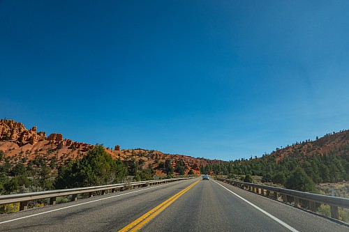 |
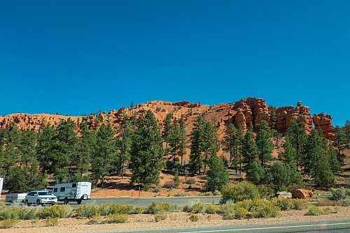
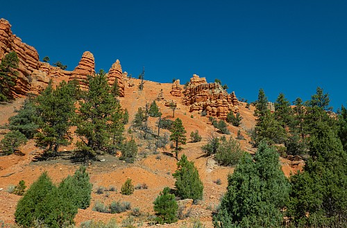
Around Mt Carmel and just north of there, there was quite a bit of road construction, including a spot where it was alternating one-way traffic. We were literally the first car stopped, so had to wait the absolute longest length of time, about 15 minutes. We commented that we needed to factor that in for tomorrow, and to give buffer time for getting to Zion from Bryce. Once we got going, we knew we had (or should have) basically no one in front of us for miles, and drove accordingly. We eventually turned east onto Highway 12, and shortly thereafter we went through Red Canyon, which vaguely resembled the shape and color of the the hoodoos of Bryce Canyon. Cars were pulled over and checking it out, but we were on our way to the park itself. On Lithium a re-run of the show with Mary Morello came on, and we happily listened a second time. After getting past Red Canyon, the road flattened out into a high valley, and not much to look at. We got to Bryce Canyon City right around noon.
 |
 |
Our hotel, the Best Western Ruby's Inn, was a zoo. There were multiple related hotels all right together, plus stores, tour agencies, gear shops, and enormous parking lots designed for huge vehicles and trailers. Just trying to park without hitting a vehicle or person required 100% focus. They were able to check us in early, and we parked right in front of our room. Crystal found a promising restaurant, Bryce Canyon Pines, and we drove over there, but inside there weren't many tables and the amount of people waiting was about the same as the number of people seated. We asked if we could make reservations for dinner, but they said they didn't take them. Frustrated, we left and just grabbed a quick lunch at a Subway right at the corner of Highways 12 and 63.
 |
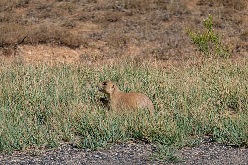 |
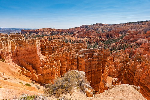
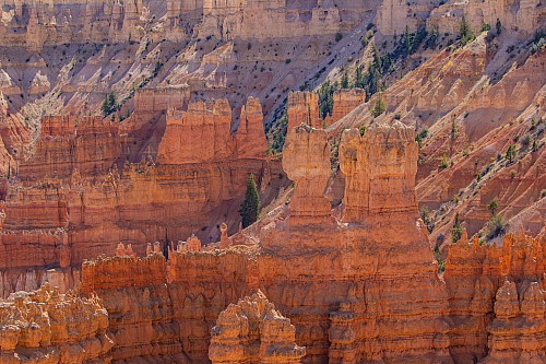
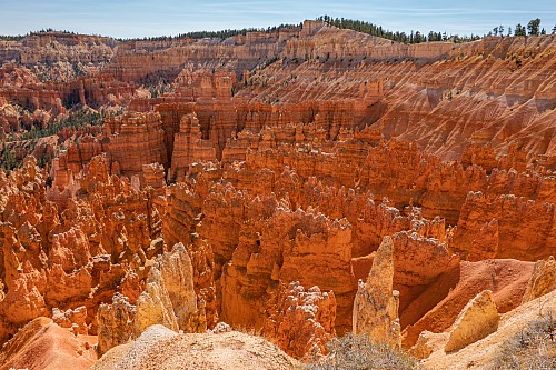
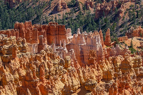
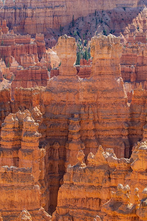
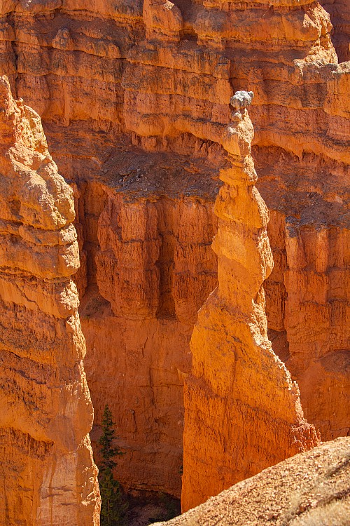
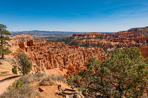
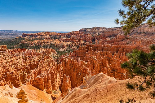
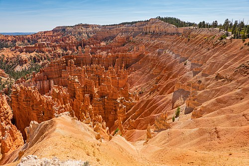
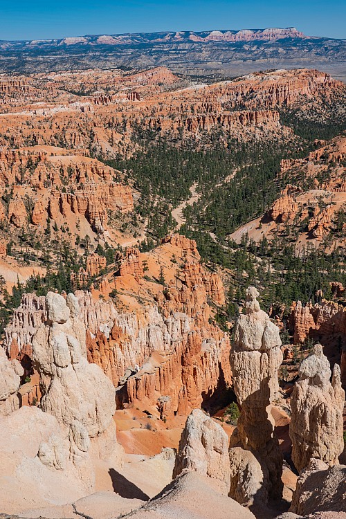
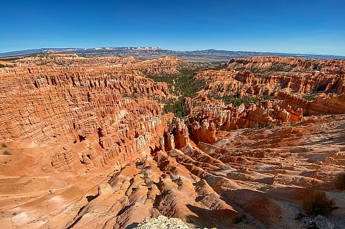
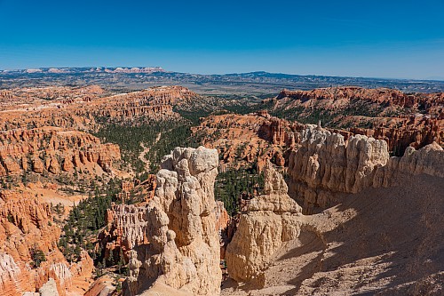
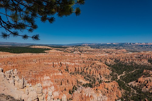
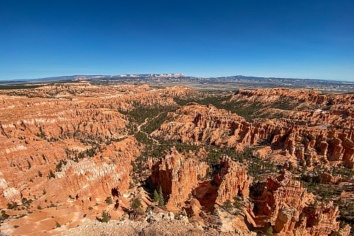
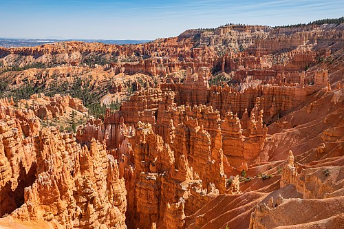
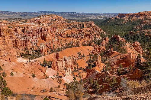
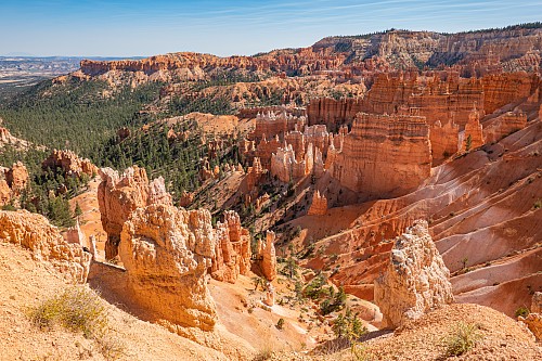
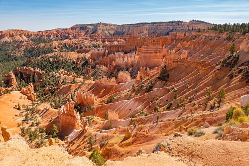
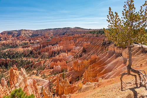
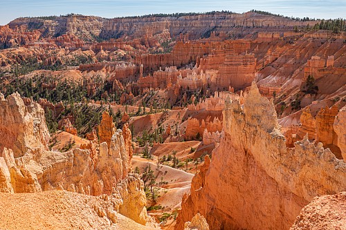
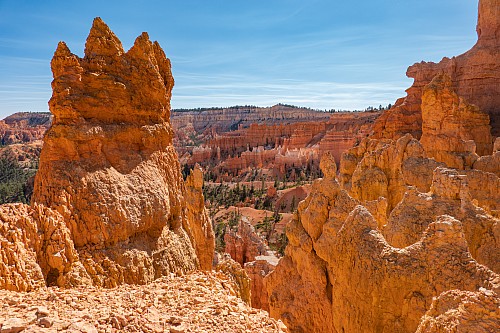
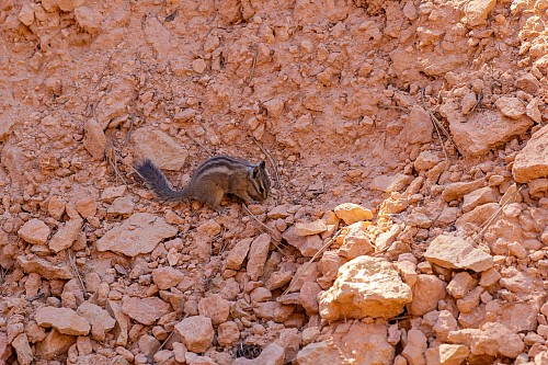
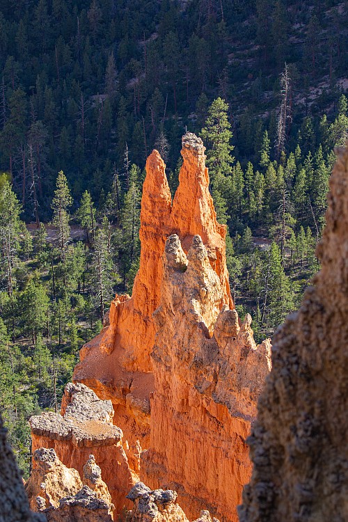
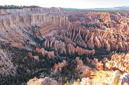
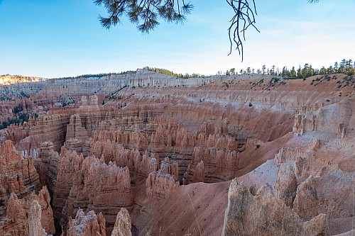
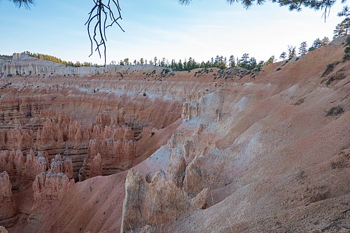
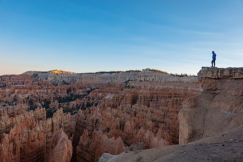
In the park, which started just past our hotel, we were greeted by some prairie dogs, which we didn't know were around this area. So that was an unexpected surprise. We couldn't find the parking lot for Sunrise Point, but there was some parking at Sunset Point, so we parked there, figuring we'd come up with some sort of plan on the fly. We initially just stared and said "wow." Even after seeing pictures and videos of Bryce and its famous hoodoos, seeing so many of them in the Bryce "ampitheatre" was pretty incredible. Crystal commented it looked like an orange tsingy. Justin agreed, stating that the only thing we'd seen remotely similar to this was the tsingy in Madagascar.
 |
 |
 |
 |
 |
 |
 |
 |
 |
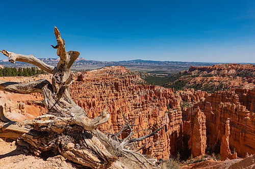 |
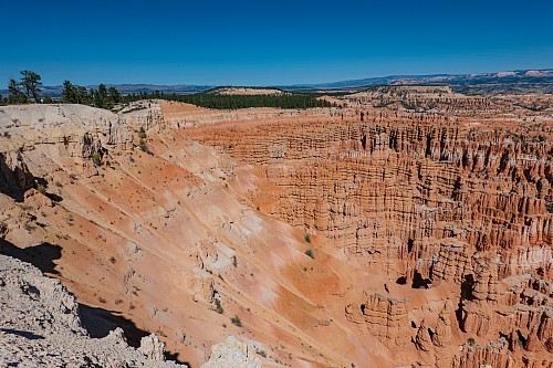
We just walked along the rim, which was at the west edge of the ampitheatre, following the rim roughly south towards Inspiration Point. We were going uphill, but it wasn't that steep, and we were constantly stopping anyway. It was the middle of the day, but the elevation, over 8000 feet, kept the temperature in check. Our lungs did get a pretty good workout, though. At Inspiration Point, we glanced around, took in the panoramas, and then walked back towards Sunset Point. Back at the car, we chugged a ton of water, grabbed the backpack (and remaining water), put on our boots, and started a hike we'd read about, the Queen's Garden trail. At the hotel, before going to lunch, Justin took a screenshot of a review of the hike that recommended we walk clockwise, starting the hike at Sunrise Point, going down into the canyon, and then coming back up to Sunset Point. Without knowing any better, we decided to do that.
 |
 |
 |
 |
 |
 |
 |
 |
 |
 |
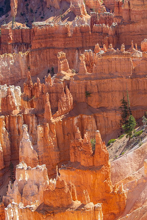
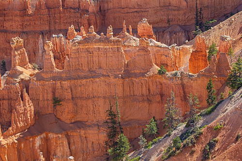
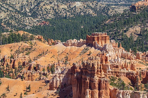
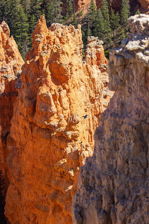
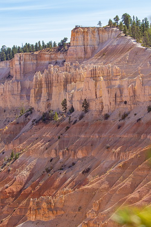
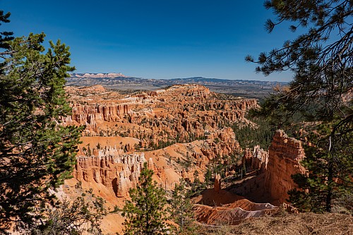
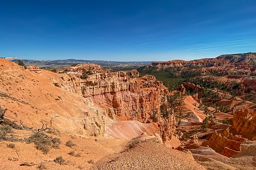
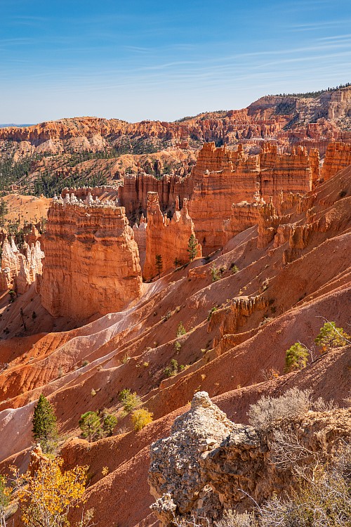
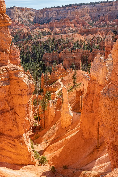
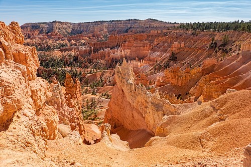
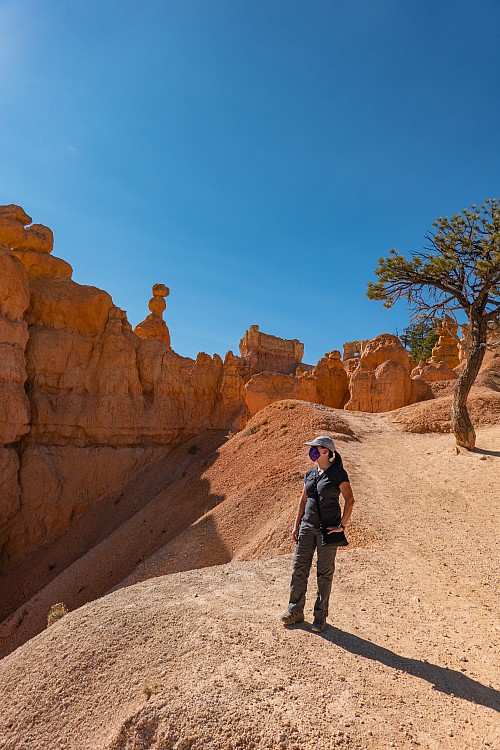
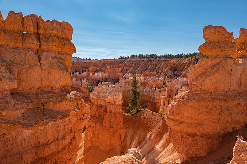
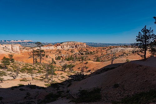
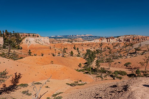
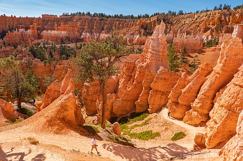
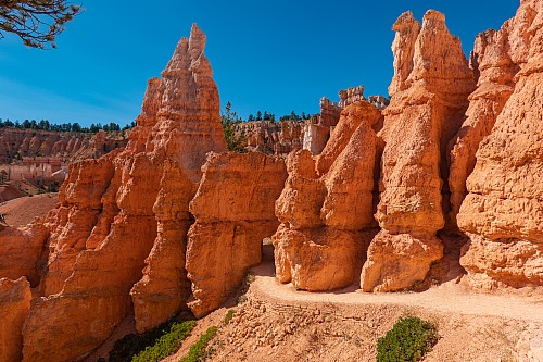
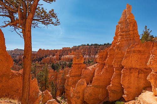
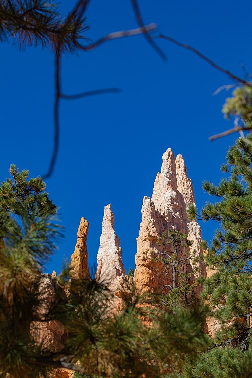
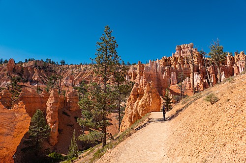
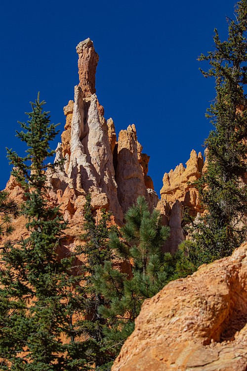
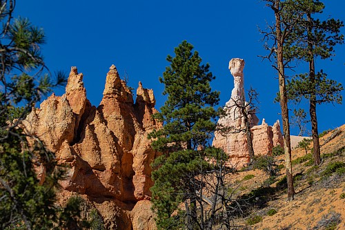
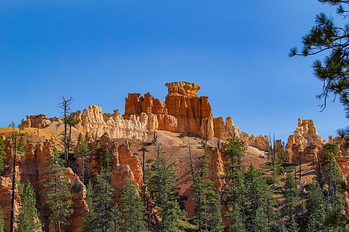
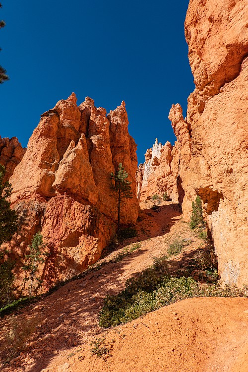
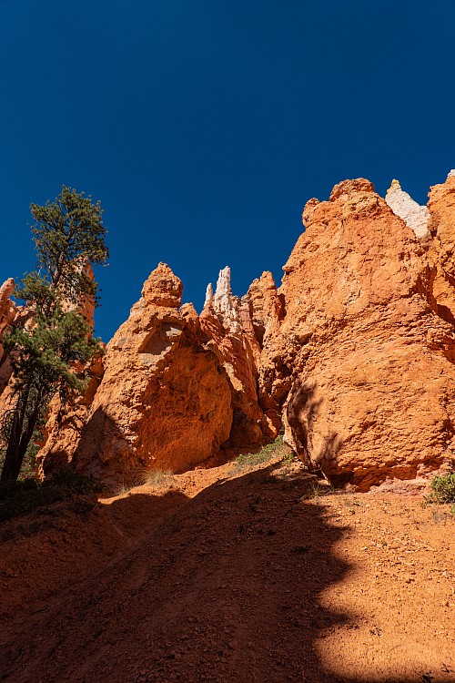
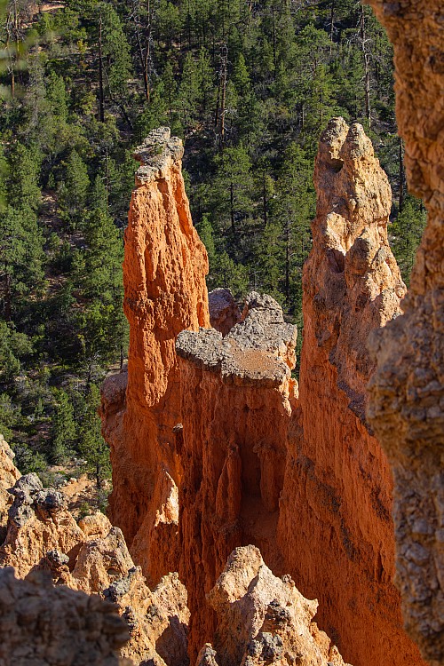
The walk from Sunset Point to Sunrise Point was just along the rim. At Sunrise Point, we saw a cool blue bird with a mohawk in a tree right before hitting the entrance to the trail. The trail down into Queen's Garden meandered amongst the hoodoos, and offered better vantage points than the rim, as the scale was easier to tell, and a lot of the more intricate coloration and shapes were more visible. In addition to the orange, which was the predominant color, there was quite a bit of white and pink as well, and some places without hoodoos had a "sandy" type topography that was waves of pink, white, and orange. Namibia was the only place we thought of that even vaguely resembled this, but it wasn't close at all, so this really had no peer. Crystal commented that many of the hoodoos resembled the Gaudi "guardians" on the roof of La Pedrera in Barcelona, and that seemed pretty apt, as even the color was similar.
 |
 |
 |
 |
 |
 |
 |
 |
 |
 |
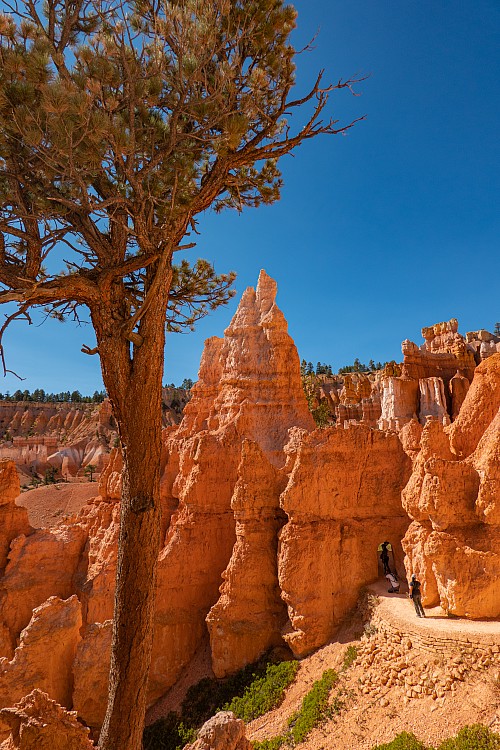
As we walked down towards the bottom, we started to see more trees. It was interesting how the pine trees were so interspersed with the hoodoos, sometimes growing right in between two of them. Down at the bottom of Queen's Garden, there were some areas where tunnels, or more accurately, doorways, were carved through some of the rocks to allow the trail to go through. Right around one of these doorways we came upon a group of a half dozen younger folks. One of their group had scrambled off trail to get an "up close and personal" photo with one of the hoodoos, and caused a pretty substantial rockfall. He didn't knock the hoodoo over, but he certainly accelerated its demise. We weren't sure what the correct response was, so we just sort of stared to give off the vibe "are you f*&#ing serious?" Even the rest of his group seeemed to realize this was inappropriate. We thought for half a second about taking a photo so that we could report it to the park service, but their group was pretty big, and we didn't feel like getting beat up or having to outrun a bunch of people at 8000 feet. But we hope bad karma found him the same way that good karma seemingly kept finding us this trip.
 |
 |
 |
 |
 |
 |
 |
 |
 |
 |
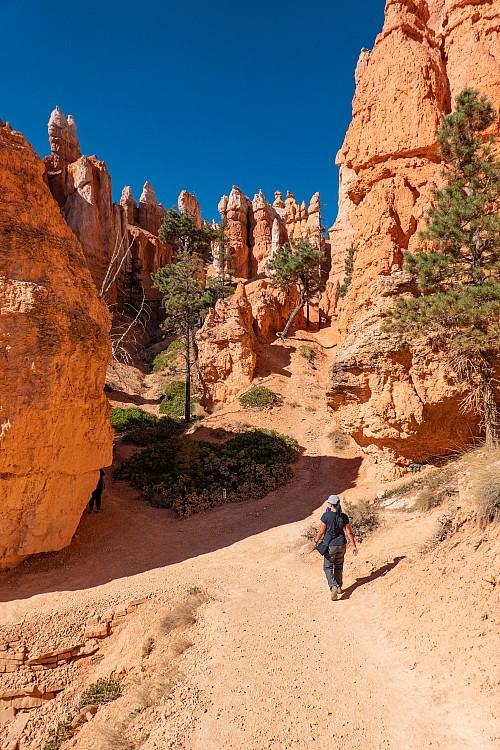
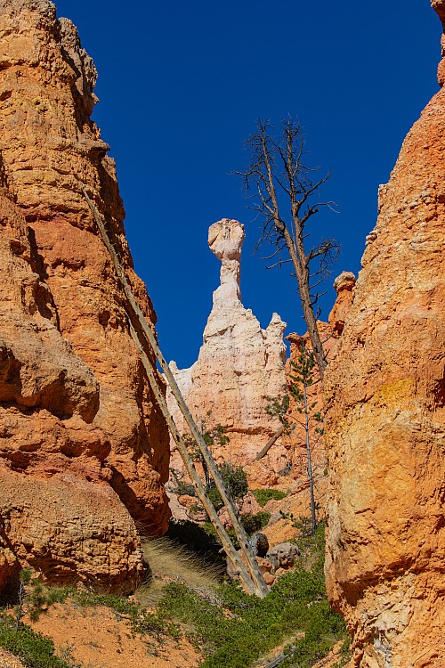
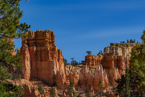
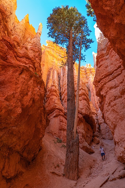
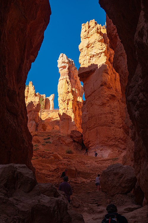
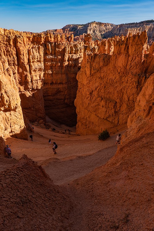
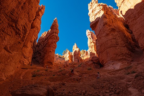
On the way up, we had a choice between the Navajo Loop Trail and Wall Street. The review we'd taken the screen shot of recommended Wall Street, so again we just blindly followed the advice. We don't know what the Navajo Loop portion was like, but Wall Street was pretty amazing. The walls of the rocks encroached way in towards the trail, and also seemed to get taller. It reminded us of walking through the Siiq in Petra, but with an uphill climb. The uphill was not great, but we were going to have to go uphill either way. But because Wall Street had high walls on both sides, it received almost no sunlight and was thus quite a bit cooler. The walk up wasn't that bad, at least for us. There was a woman whom we'd passed by a couple times, and she was having a tough go of it. She was wearing tevas, or sandals like tevas, and we can only imagine the blisters she was getting.
 |
 |
 |
 |
 |
 |
 |
 |
 |
 |
All told, the hike, starting at Sunset Point, walking over to Sunrise Point, going down Queen's Garden and up Wall Street, was just under 3 miles, and took us a little over 2 hours, which included a lot of stops. It could probably be done fairly easily in 90 minutes for people not stopping all the time and in good shape. We both commented it was one of the best hikes we've been on, which we didn't say yesterday at Cape Final, even though that was amazing in its own right. Most all of the hikes we did in Switzerland last year with Heidi would have to be way up there, as well as the hike we took to Pu'u O'o in 2005, and probably Awa'awapuhi on Kauai. There's probably a couple more that we can't think of, but it's not an exceedingly long list. We have no idea how busy this might be in a normal year, but at least today, it wasn't overly crowded.
 |
 |
 |
 |
 |
 |
 |
 |
 |
 |
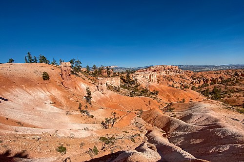
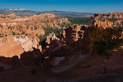
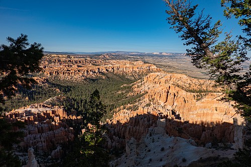
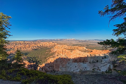
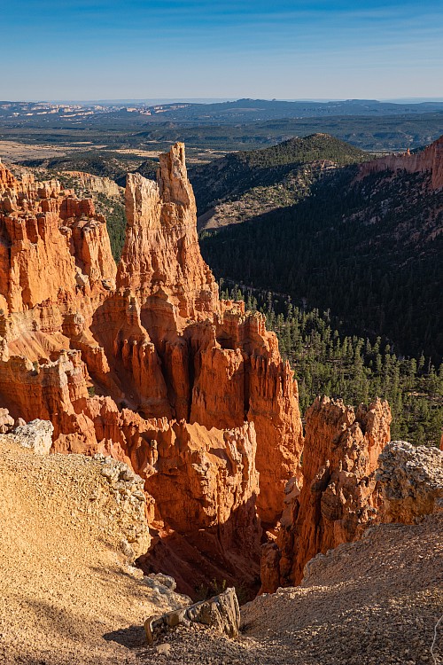
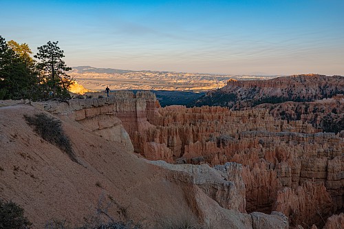
Back at the car, we put the backpack in the back and drove to Paria Point, at the south portion of the park. At Paria, we weren't looking at the main ampitheatre, but an entirely different set of hoodoos, with more distant views out to the east. It was a nice change, but didn't have quite the impact of the ampitheatre. Perhaps because of that, it had almost no one there. From Paria, we took a short drive to Bryce Point, which is at the south end of the ampitheatre. We could see back towards Inspiration Point, but the distance from here to Inspiration Point seemed to be a good deal longer than from Sunset Point to Inspiration Point. It didn't look like a tough walk, but it wasn't one we wanted to do right now. Bryce Point seemed to be the most panoramic of the viewpoints, and would probably be good at both sunrise and sunset, as it was facing almost due north, so colors should be visible at both times.
 |
 |
 |
 |
 |
 |
 |
 |
 |
 |
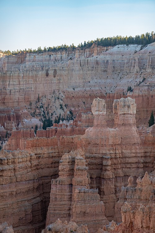
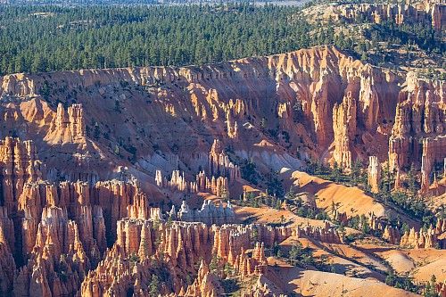
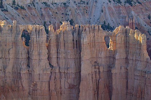
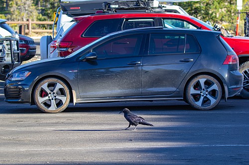
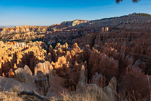
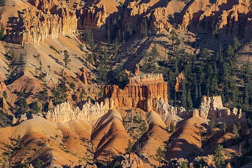
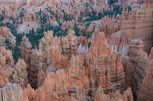
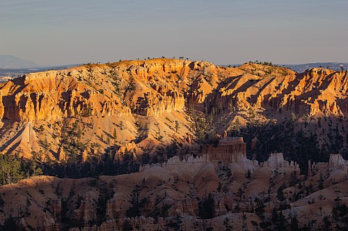
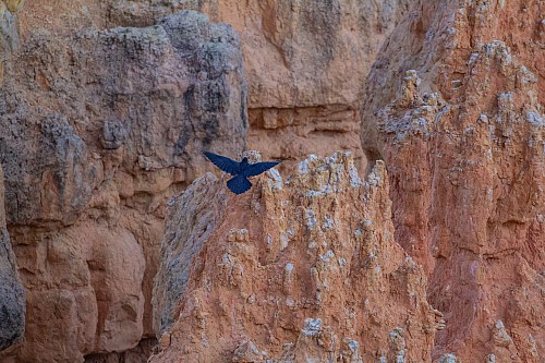
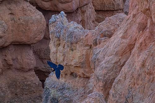
We determined we wanted to watch sunset from near Sunset Point, not because of the name (as we'd read sunset is just as good from many places), but because on the walk between Sunset and Inspiration Points we'd seen some good places where we might be able to get some good views. Crystal stayed closer to the parking lot, as she didn't want to put any shoes back on, whilst Justin took a short walk towards Inspiration Point until he found a nice tree to sit on and watch the sunset. It was good that we got to our spots well before "sunset" because the sun set over the ampitheatre well before the actual sunset, as the west rim is a good amount higher than most of the ampitheatre, and starts shading the ampitheatre early. While taking his time-lapse, he watched a raven that was looking for something - not sure if it was their mate, food, or something else. Eventually another raven showed up, and the first raven seemed to chill out, so maybe they were just looking for one another. It was interesting that they seemed to be navy rather than black, but that could just be a function of the camera sensors being mixed up because of so much orange in every shot.
 |
 |
 |
 |
 |
 |
 |
 |
 |
 |
 |
We were back in the car around 7, and looking forward to trying our luck at the Bryce Pines again. Crystal mentioned that they were famous for pies, and that the menu explicitly mentioned they had ice cream to go with it. So we were looking forward to making up for getting our hopes up for pie and ice cream last night. We figured if nothing else we could order some to go. When we got back to the room around 7:15, Crystal called, and they mentioned they closed at 8, and that they didn't do to-go orders. Justin was crestfallen. Crystal asked what else he wanted, but he just assumed whatever sounded good was going to be closed or unavailable, so he just sulked and backed up all the photos and videos.
 |
 |
 |
 |
 |
 |
Crystal walked to the grocery store that was part of the hotel complex, and got some of the original Doritos (taco-flavored), some smoked turkey, some crackers, and some salad. When she got back we opened up the Cabernet that we'd bought at the general store at the North Rim the night before. So we just took it easy in the evening, but making plans for tomorrow. We 100% were going to try to get Zion shuttle tickets for Saturday, as we had no shuttle tickets for that day. That meant we needed to be in the room at 9am, which wouldn't be difficult. The tentative plan was to watch the sunrise (Crystal stated she was on the fence, if she felt like it in the morning she'd go), get back to the hotel before 9, and leave for Zion as soon as we (hopefully) procured the shuttle tickets. We figured that would get us into Zion between 11 and 12, with time to spare (and to get lunch) before hopping on our 1pm shuttle.
| Previous Day |