Your World
Our alarms went off at 6. Sure, it was actually 5, since we'd lost an hour yesterday, and we'd get the hour back later today, but waking up at 6 seemed not as bad as waking up at 5. We'd ascertained that we would be back from our morning tour well before checkout, so all we had to do this morning was put on some warm clothes and grab our cameras. We needed to meet our guide at 6:25 by the swimming pool, which was all of 50 feet from our door. We peaked out the window at Monument Valley, and there was a hint of light, but not very much yet. We waited in the parking lot for a couple minutes, and saw some other people, but they were just packing up their car, and not going on the tour. When our tour guide, Leo, showed up, it was just the two of us in a truck that could hold 20-25 people.
 |
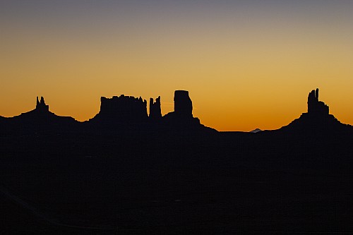 |
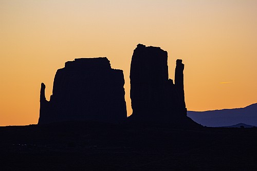
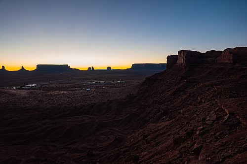
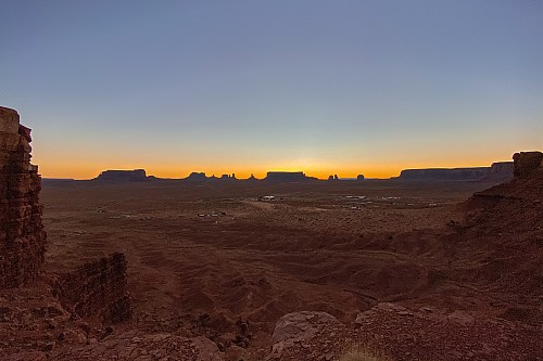
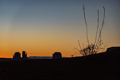
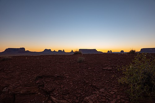
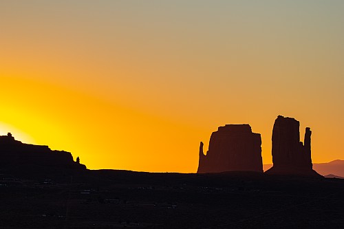
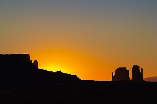
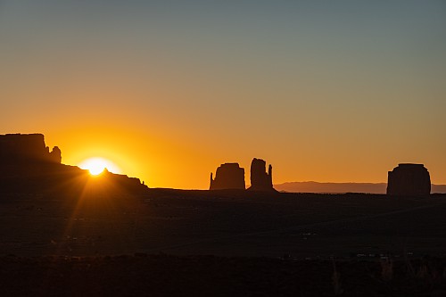
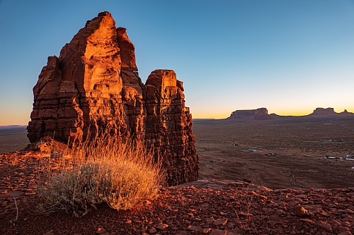
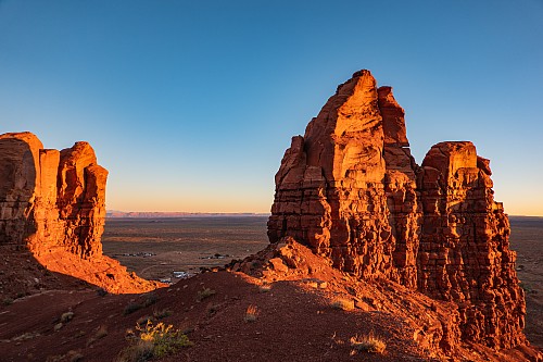
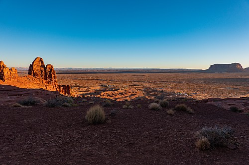
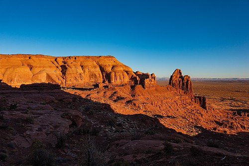
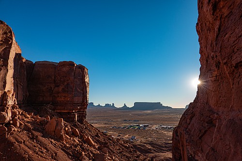
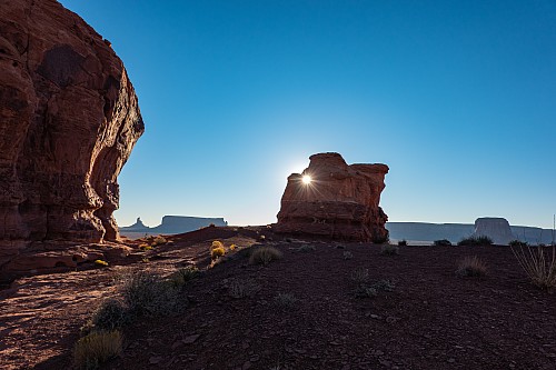
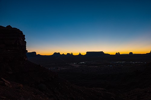
To our surprise, Leo started driving west, on some sandy paths leading away from Goulding's and the highway. Then he turned south, and eventually he circled back east. Best as we could tell, we had basically driven to up on top of the mountains that Goulding's was at the base of. He told us we could wander around and just wait for sunrise, then we'd go on with the rest of our trip. Crystal stayed closer to the van, whilst Justin poked around a bit before finding a spot further north, near a big tooth-shaped rock, that had more-or-less unimpeded views to the east. It also had a small ridge just before the edge, and by backing up a couple steps, the ridge blocked the foreground of buildings and the highway, making the area seem even more isolated than it was.
 |
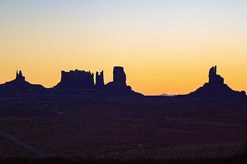
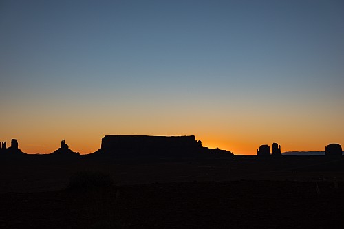
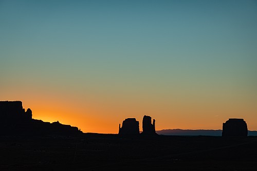
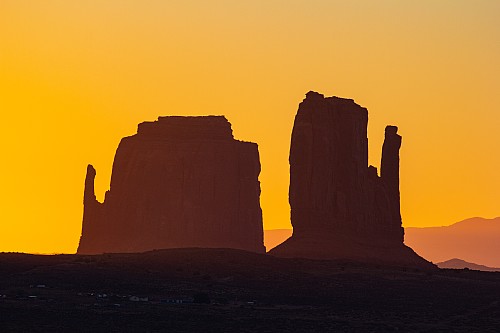
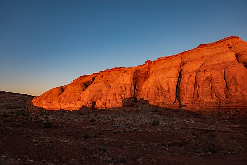
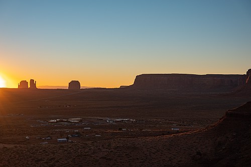
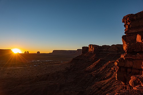
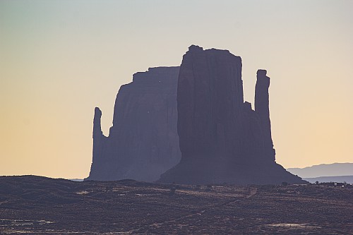
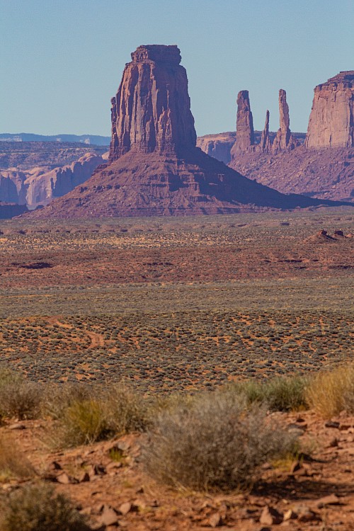
At first the sunrise was blue sky, a yellow horizontal line on the horizon, and black objects in the foreground. As the sun got a little higher, the yellow started to bleed into the blue sky, and orange displaced blue on the horizon. When the sun finally emerged from behind one of the Monument Valley rock formations, the wall behind us lit up bright red, like what we'd seen the night before from Highway 163. All of the shadows started withdrawing, lighting up much of the valley. And all of the backlit rock formations now had some, albeit limited, color and contrast to them. Few things are worth a 6am wakeup call, but this was among them.
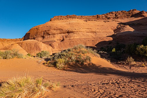
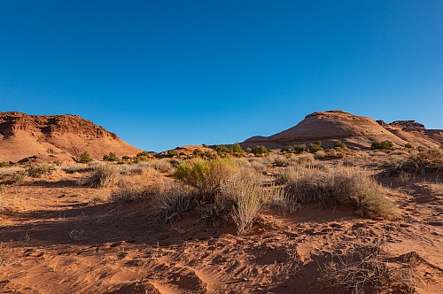
We got back in the truck and meandered through the sand and the scrub to another viewpoint, this one with a "window." On the way, we saw a fox, but couldn't grab the camera fast enough to memorialize the event. Between the fox, the sandy road, and the scrub, this area reminded us quite a bit of our time in Northern Namibia, near the Angolan border. Of course, Namibia didn't have the "mittens" or any other of the famous rock formations that were here. It also wasn't within driving distance of our house.
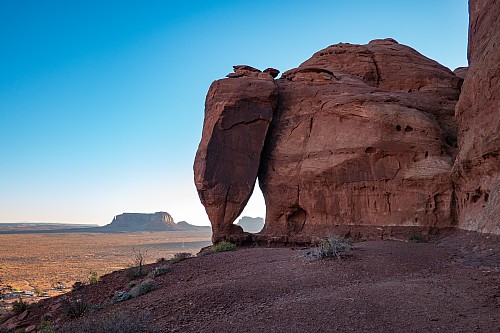
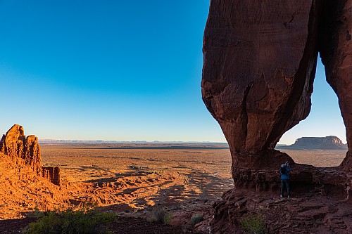
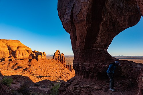
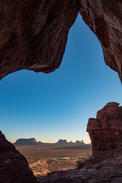
The window that Leo brought us to looked like an elephant. Between the body and the head was the window, which framed Monument Valley off in the distance. Normally these sunrise tours would be down in Monument Valley itself, and there would be multiple full trucks, but we were more than satisfied with this "Plan B." We hoped enough people were still coming to the area to keep the local economy afloat. Leo told us that he recently moved back to the Navajo Nation, after a couple of years working on an oil field in New Mexico. The way he explained it to us, however, took us by surprise. "I used to work in your world." The way he phrased it "your world" was jarring. We are obviously aware that people come from different backgrounds, races, religions, etc., but had never contemplated that other people might legitimately consider their station in life to be in a completely different world. Leo plainly felt that the Navajo world was better, and left "our world" to go back. If we'd had more time, it likely would have been a fascinating conversation to find out why he felt that way.
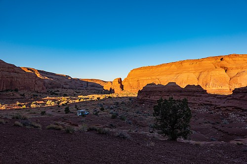
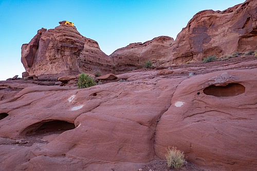
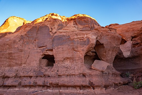
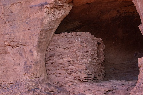
But we were on a tight ship, as the hotel had told us the night before we'd be back before 9. So it was on to another viewpoint, this time with an Anasazi cliff dwelling. If Leo hadn't pointed it out, we likely would not have noticed it. In the hills here, more porous rock erodes faster, so there were many natural caves, windows, etc., in the rock. Leo directed our attention to one that had, inside it, several constructed walls of a dwelling. Becuase the walls were constructed of the same material as the mountain itself, they did not stand out until you focused on the fact that the walls were made of smaller bricks, and thus looked a little different from the one-piece monolith encompassing them. This was likely built sometime in the 1200s, when the Anasazi were at their peak in the local area. Another thing Leo showed us in the area were these basketball-sized white "stains" on the rock, which, if they had an explanation, Leo did not know. There were quite a few, but we couldn't off the top of our head imagine what would have caused this.
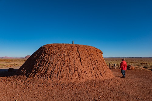
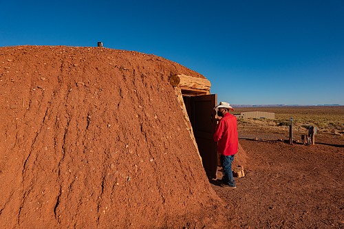
Leo drove us back down the hill, and just before getting to the hotel, took us to a hogon. A hogon is a traditional Navajo dwelling, constructed of wood and covered with dirt to provide insulation for both the summer and winter. In the center there is a fireplace, with a chimney protruding through the roof. Leo told us the wood was cedar, taken from the mountains quite a ways away. There are nine main support pillars that are buried multiple feet into the ground, and the 9 pillars represent the 9 months of pregnancy. The wood beams are arranged such that there is no need for glue, nails, or any other type of fastener. The doors face the east, and in the case of the one we were in, faced directly out at Monument Valley. Leo mentioned that people sleep with their feet towards the east and head on the west.
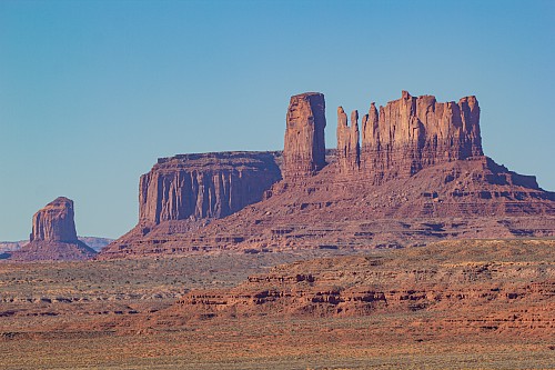
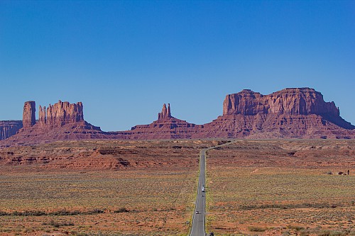
True to what we'd been told, we were dropped off just prior to 9am. We'd discussed the night before that we wanted to be at Horseshoe Bend around mid-day for best light, and at the North Rim before things got too late. We decided we should be out of Monument Valley by 10 or 10:30 to make things work right. But we had an epiphany this morning that we were getting an hour back, so that actually meant 11 or 11:30, so we now had some more time to check out the things we rushed by last night. We quickly packed and put everything in the car. Before we left, Crystal once again volunteered to come back on another trip and just hang out, and Justin could go out and about and take pictures to his heart's content. Just before heading out, we got some caffeine for us and some gasoline for the VW, then headed north towards Mexican Hat.
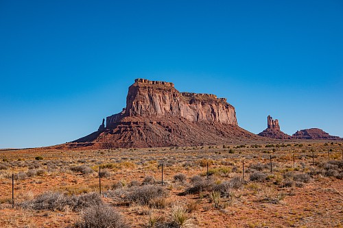
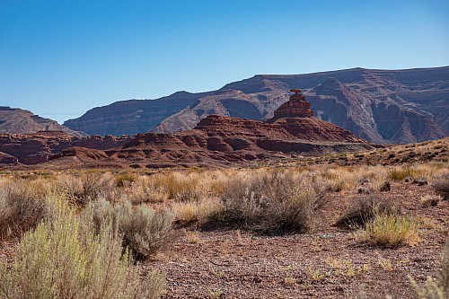
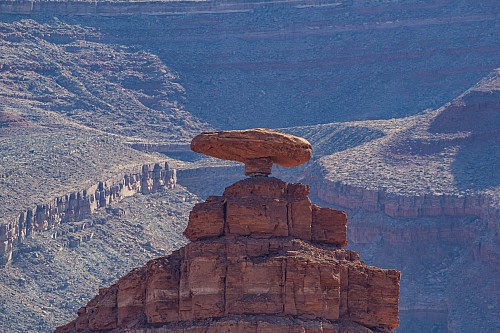
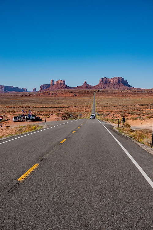
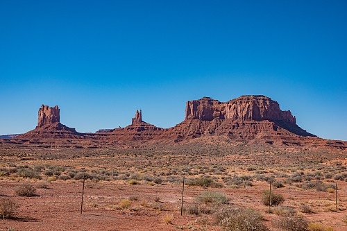
Driving north from the hotel, we went right past the Forrest Gump viewpoint, and we saw a guy dressed like Forrest, with a scruffy wig, a baseball cap, and a running tarp. We wondered how frequent an occurrence that is. We continued on to Mexican Hat, maybe a 10-15 minute drive north from Monument Valley, just across the San Juan River. People looked to be doing some improvement on the bridge crossing the river, and there was a small town right there, the town of Mexican Hat. Mexican Hat rock, meanwhile, is on the north side of town, and easily visible from the Highway. We took a handful of photos, then turned around and went right back to Monument Valley.
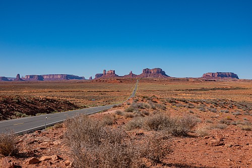
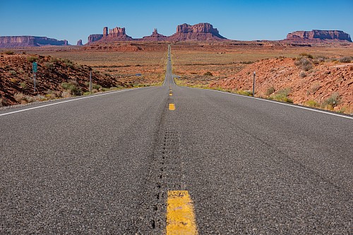
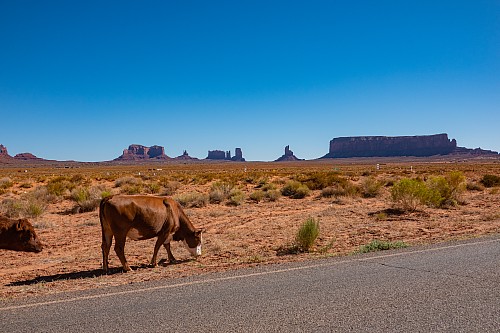
As with last night, we kept pulling over at the various pullouts, getting progressively closer to Monument Valley. At some of the viewpoints, local people were out selling things, and Crystal purchased a bookmark with an eagle-feather design, which supposedly provides protection. The sun was a little better today in terms of lighting up the rocks, but it seemed as though summer time, when the sun would be the furthest north, would be even better. Clouds in the sky would probably make the view even better as well. But, to be clear, we weren't complaining in the slightest. From the caffeine we'd purchased at Goulding's an hour earlier, we now needed to use the facilities, so we made one last stop there before heading out towards Page.
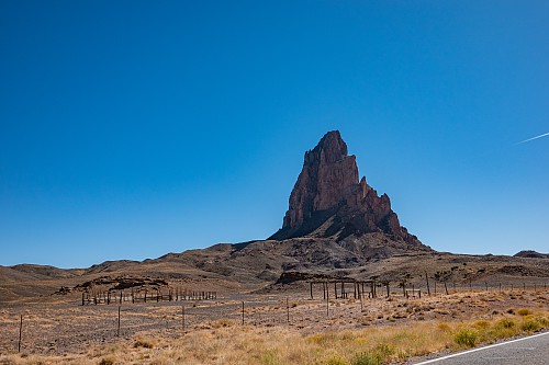
Leaving Goulding's, we passed into Arizona less than a minute later, as Goulding's is literally just on the Utah side of the border. Kayenta, Arizona is the "major" town closest to Monument Valley, about 25-30 minutes south of the state border. In Kayenta, we turned off of Highway 163 and started heading mostly west on Highway 160. It was around here that we began a passive aggressive battle that would keep us occupied all morning. Highway 160 was pretty straight, pretty empty, but what vehicles were on the road were mostly trucks, vans, and RVs. This meant a lot of passing on the opposite side of the road. As we left Kayenta, about 3-4 vehicles in front of us was a black Tacoma, which was irritating us and making us uncomfortable. He was riding the ass of the vehicle in front of him, meaning he couldn't see anything, so he exacerbated the situation by constantly swerving a little to the left, in order to see whether he could pass. At one point, as he tried to pass a fuel truck, the fuel truck moved over as well, as the fuel truck knew the guy (we assumed it was a guy - yes, yes it was) wouldn't be able to pass, and didn't want the Tacoma trying.
 |
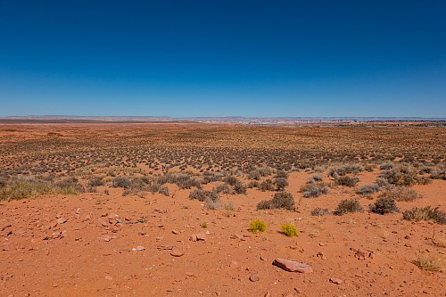 |
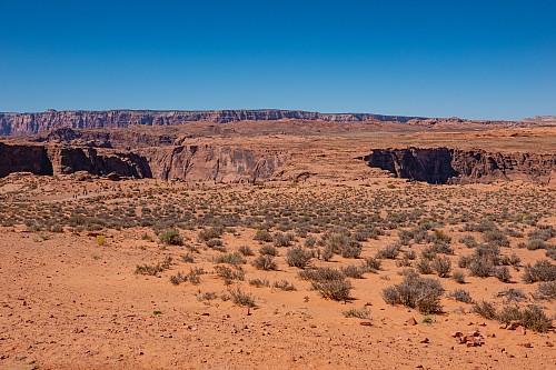
We passed a couple of vehicles, and were right behind the Tacoma, but not right behind, as we actually wanted to see things. Eventually we got a passing lane as the Highway went up an incline, so we figured everyone could pass the slow vehicles and we could stop worrying. But once we got in the passing lane, the Tacoma didn't go - it was inching past the vehicles it was passing. Once he slowly passed the last vehicle, we flew past him, hopefully to put him in our literal and figurative rearview mirror. But when we slowed down as the speed limit dropped as we entered a town, the Tacoma came flying up behind us, as he either hadn't seen or didn't care about the speed limit dropping. He was a bit demonstrative, but nothing dangerous or aggressive, just irked. When we turned off of 160 onto 98, we hoped he'd continue straight, but no, he turned to follow us. As we passed cars on the 98, we'd lose him, but soon enough, he'd be back. We noticed he had a dog in the car with him, so we figured he couldn't be that bad. By the way, guess who doesn't have a dog, and doesn't like dogs, and is a horrible person? Coincidence, we think not.
 |
 |
As we entered Page, we saw turnoffs for Antelope Canyon, but all the parking lots were empty, containing only vacant tour trucks. We can imagine why Antelope Canyon is closed, as the slot canyons are quite narrow and renowned for being a bit claustrophobic - not a good situation for an airborne contagion. In Page, we turned left from 98 onto 89, and the Tacoma followed us once again. A couple minutes later, when we turned into the Horseshoe Bend parking lot, the Tacoma followed us. We were a mix of amused and horrified, but any concern was tempered by the fact there were hundreds of potential witnesses around, plus the fact he had a dog. When he and his dog walked past us as we were putting on our shoes, he didn't acknowledge us, so maybe our whole passive-agressive morning was just entertainment for us and not him.
 |
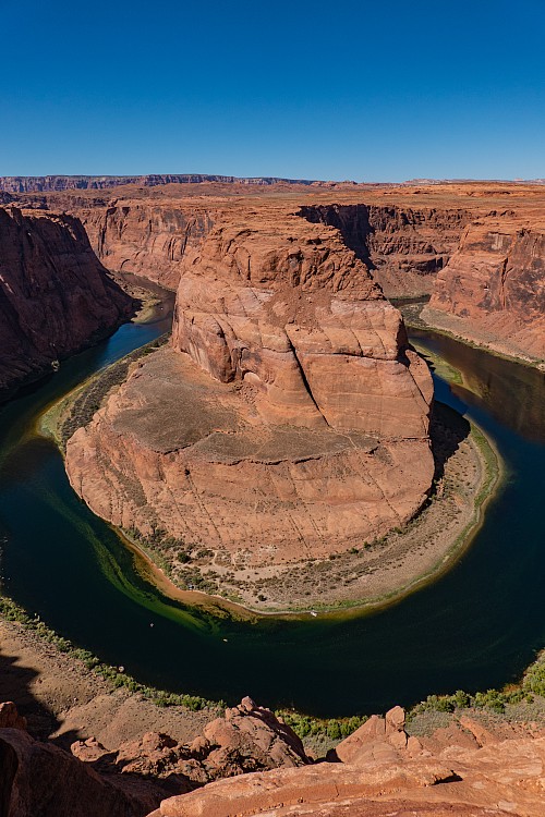 |
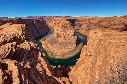
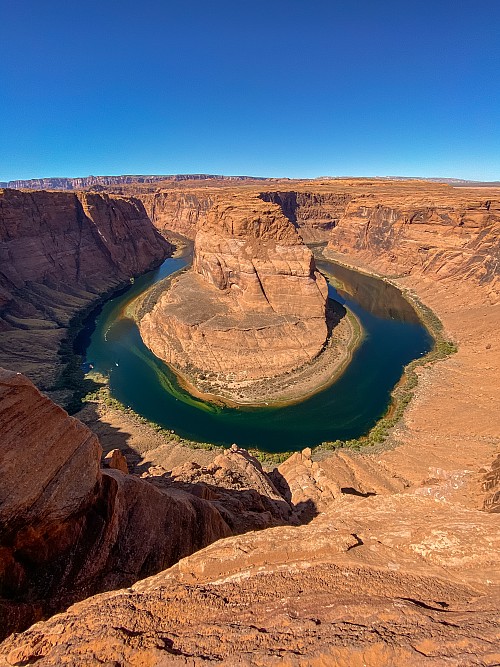
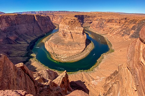
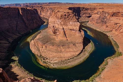
The walk to horseshoe bend was paved, and maybe only 10-15 minutes. Despite it being so short, there were multiple shaded covered areas, like at a bus stop. We assume this is for people not in as good of shape, or who cannot walk very fast, such that on scorching hot days they can take breaks. As it was, we think even our pups could have made this walk on a day like today, which wasn't too hot. Horseshoe Bend was exactly as advertised, and looks pretty much exactly like what it looks like in every photo you've ever seen, including ours. The Colorado River makes very pronounced curve, probably 3/4 of a circle, before continuing on to the south and west. Over the year it has carved steep walls on both sides, leaving a pronounced horseshoe vacant in the sandstone. We had to be very careful near the edges, as the cliffs didn't have any "steps" on the way down - if you fell here, you were going all the way to the bottom. At the bottom, it was easy to make out boats and kayaks in the river, which was a pretty ugly green color. We hoped it was just the season, and not this color year-round.
 |
 |
We had lunch at Birdhouse, a fried chicken place we'd read great reviews about when planning to be here in March and April. We were supposed to stay in Page for two nights then, and actually on the night of our 20th Anniversary, so we'd looked for the best fine-dining or romantic place in Page - turns out there are none. So we were either going to cook our own dinner that night, or go get fried chicken. As it was, instead we were getting that fried chicken as part of our 2 hour (as opposed to 2 day) stop in Page, on the way to the North Rim. Crystal got a fried chicken salad, and Justin got a breast and wing, plus a single tender. We got the spicy, which appeared to be the same chicken, but coated in Old Bay seasoning. They also had some Crystal hot sauce, and so Justin dipped his chicken in that as well. Everything was good, but candidly we prefer Popeye's.
 |
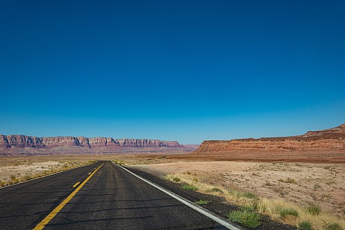 |
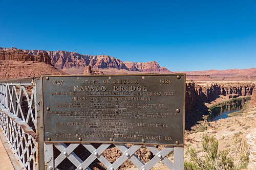
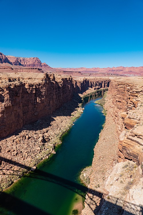
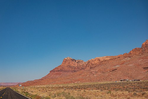
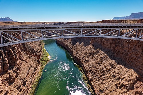
On the way out of town, we headed south on Highway 89, and were happy to see that there was no black Tacoma behind (or ahead of) us. As we approached the interesection with Highway 89A, the highway dropped quite a bit in elevation, going right through - literally - the plateau we'd been on top of. The road builders had clearly dynamited a path to get from up on the plateau to down by the river, and the road winded down from there. On 89A, we could look back at the cliffs we'd just been on top of, plus the Vermillion Cliffs to the west. As we approached the bridge across the Colorado River at Marble Canyon, we stopped at a parking area there. We got out and walked across a pedestrian bridge they had, then hopped back in the car for the rest of the drive. We put on some Led Zeppelin on the stereo and enjoyed a peaceful ride east towards the Grand Canyon. We were curious what Vermillion meant, so Crystal looked it up - it is a reddish hue consisting of cinnabar (mercury sulfide). It can vary from bright orange-red to duller reddish-purple. We read that and thought "yep, the name makes sense."
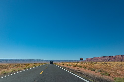
The road was basically empty, save for a 4Runner going a good speed right in front of us, which we were happy to follow. When we saw on the map we were about to start heading uphill, however, we gunned it past them so that we could take the curves at the pace we wanted. The drive uphill was quite fun, and reminded us a bit of the hill going up from Hemet to Idyllwild, with the difference that the sun wasn't right in our eyes as it invariably would be on a Saturday morning to go hiking. Around 6500 feet in elevation, the forest returned. We could actually check the elevation, as we'd realized on the trip that the Navigation screen on the VW listed the elevation, and at several of the signs indicating the elevation (e.g., 5000 feet) we checked and saw the VW was remarkably accurate.
 |
 |
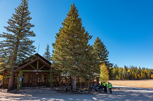
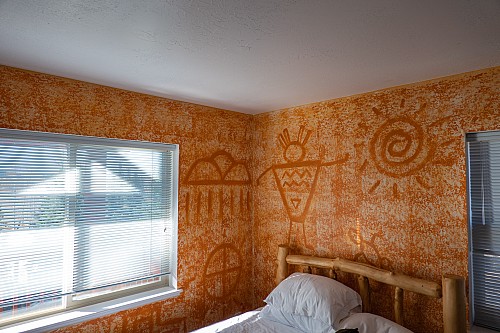
At Jacob Lake, we turned south on to Highway 67, a dead-end road heading directly to the Grand Canyon's North Rim. The forest was thick with pines, but also with a deciduous tree with bright yellow leaves that were soon to drop, which we later determined were aspen trees. After several miles the forest opened up like a zipper unzipping, exposing a meadow on both sides of the road between the forest. We got to our hotel, the Kaibab Lodge, around 3:15. Accomodations at the North Rim are very sparse, with the North Rim Lodge actually in the park, then the Kaibab Lodge close to the park borders, but then everything else in Jacob Lake or further away. Given how we'd booked this impromptu, we were quite lucky, snagging the very last room on the second night of our stay.
 |
 |
It had not occurred to us, but we weren't surprised, when we realized there was no internet in our room. After about 1 minute, we each independently had the exact thought "wait, how are we going to do our Duolingo today?" We went to the front desk to ask if there was maybe wi-fi or cell signal somewhere in the lobby, but no. The woman at the desk said the most reliable signal was at the North Rim itself, getting signal from across the canyon. So we got ready and headed down the road towards the Visitor Center. There, as we walked from the parking lot towards the Lodge and the rim, we kept checking the bars on our phone. Everyone else was staring at the beauty of the canyon and the forest, while we were staring at our phones, so sad. When we each respectively got a signal, we quickly did one lesson to continue our respective streaks (Crystal was closing in on 100 straight days, Justin closing in on 250).
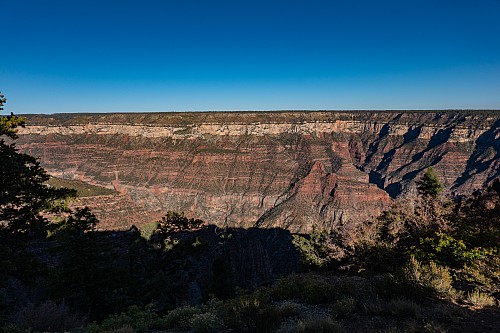
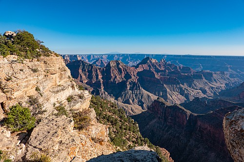
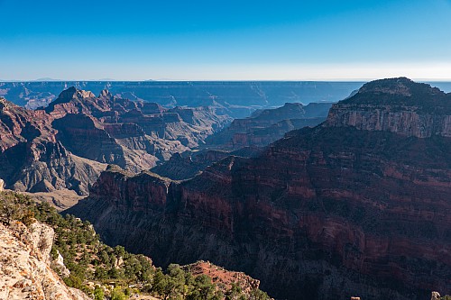
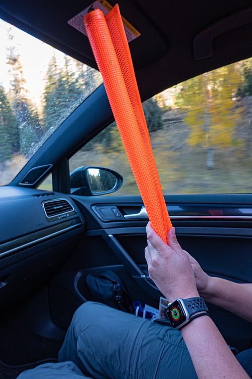
Once that was behind us, we went back to being tourists. We checked out the views around Bright Angel Point, then decided we wanted to try Cape Royal for sunset. It was around 4:45, and sunset was a bit after 6, but we figured we'd have sufficient time. On the road to Cape Royal, however, they were doing construction, and the road was alternating traffic. When it was our side's turn, we were the last car, so we got a bright orange flag to give to the construction workers on the other side, to indicate it was safe to send cars the other way. The road was in great shape; it looked like they were just repainting the center lines and the shoulder lines. After we got past the construction and continued towards Cape Royal, some of the center lines weren't painted, and there were signs seemingly every mile stating "no center stripes" as if that wasn't abundantly self-evident. What a waste of time and money.
We arrived at Cape Royal at 5:45. Crystal wasn't feeling so great, with a mild headache. She wasn't sure if it was altitude, or the early signs of car sickness. She told Justin to head out, and she'd stay in the car.
Justin asked Crystal not to leave him in the middle of nowhere, with no car and no cell signal. Right near Cape Royal was "Angel's Window", a hole in the rock not far below the top of the plateau, with a viewpoint above it. From near the parking lot, however, you could see the Colorado River off in the distance through the hole. Crystal shortly caught up with Justin, feeling better. At Cape Royal, there were quite a few people, and since there were no other nearby viewpoints, it was ironically more crowded than the sunsets we'd had at the South Rim. Crystal walked off at one point and Justin asked if she was okay. She said "I just wanted to get away from the crying baby." Justin responded "which one?"
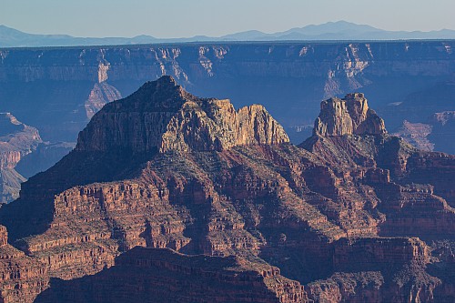
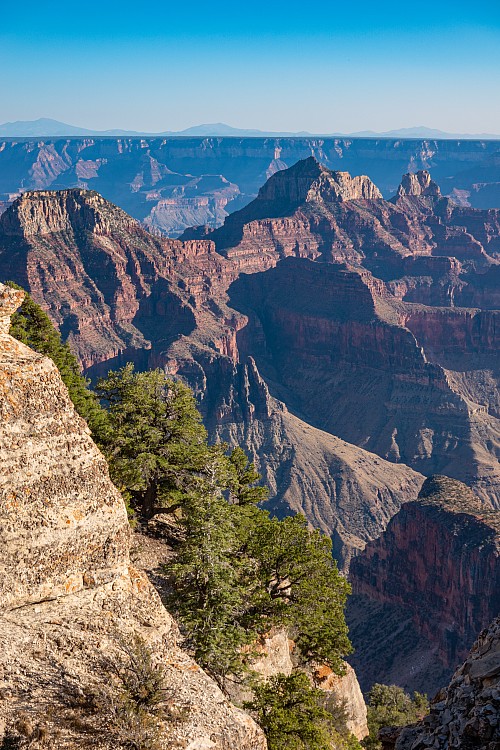
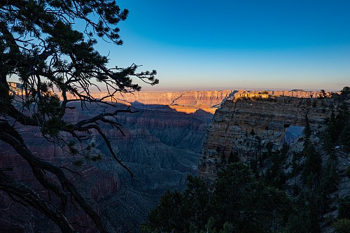
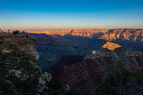
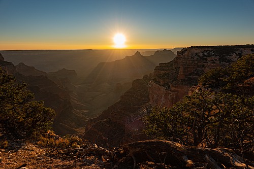
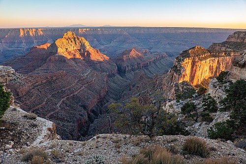
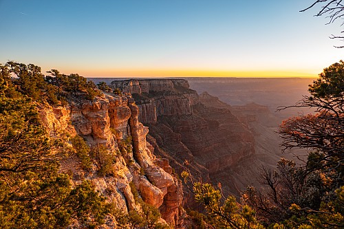
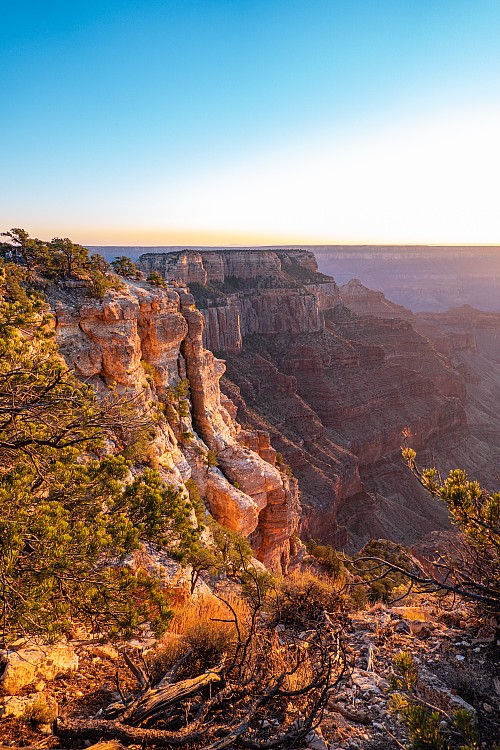
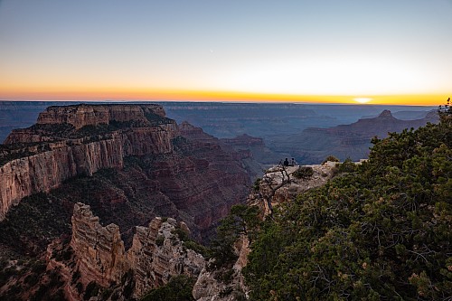
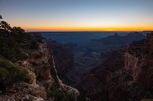
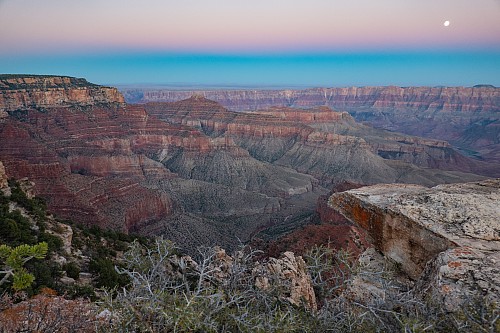
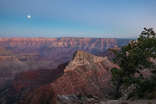
While the ambience might not have been that great, the views definitely were. We realized that what we'd seen from Yaki Point two days prior, the Wotan's Throne and the Vishnu Temple, were now right in front of us. Along the same line, we realized the plateau of the North Rim we'd seen right from Yaki behind the Throne and the Temple must be the plateau we now found ourselves standing on. Crystal thought the Vishnu Temple looked more impressive from Yaki, and Justin thought the Throne looked more impressive from this side. He also thought the Throne looked vaguely like the Canaima rock features around Angel Falls in South America, but sandstone instead of limestone. We tried to find the best vantage points for sunset, but they were all taken, so we just did the best with what we had. We noticed the moon was almost full, and that we'd likely have one at Bryce in a couple days. As soon as the sun set, Crystal walked back to the car, and Justin stayed out a bit longer to take some more photos. When he got back to the car, the tail lights were on, and about 2% of him worried Crystal was going to head off.
The drive back was windy and in the dark, so not our favorite. We were behind a truck and a minivan, and there was no possibility whatsoever of any passing, as the road was too windy and narrow. As soon as we got back on the 67, however, the truck passed the minivan and took off. Since we had only a couple miles left to our hotel, we just chilled out. As soon as the meadow re-appeared, there were lots of deer everywhere. One got spooked just to our left, and we were worried it was going to bolt right in front of the car, but fortunately it bolted away from the road. We got back at 7:30pm, just before the 8:00pm close of the dining room. The food options were limited, sort of a Chipotle-like bowl with rice, meat, veggies, etc. It was fine, particularly given how in the middle of nowhwere we were. We got 2 white claws each (we recommend the cherry) to go with dinner, and we looked at a map of the park to figure out what to do tomorrow. We tentatively decided on starting at the Visitor Center (to do our Duolingo), and then spending the rest of the day checking out the sights on the Walhalla Plateau, which we'd driven past on the way to Cape Royal today. After dinner, it wasn't long before we were asleep. We had been up at 5, after all.


