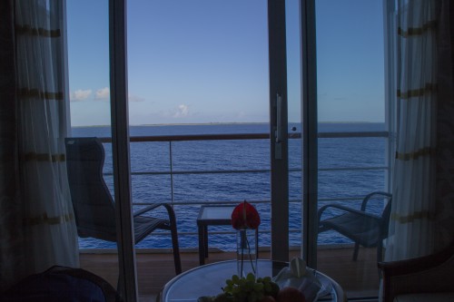
We had to be up by 8:30 for our mandatory safety briefing, but as it turned out we were up right around 7. There was nothing but blue to look at, as we were well on our way to Fakarava (we had left port whilst at the piano bar the night before), and there was no land to be seen. There were, however, some clouds, but nothing too bad. We went exploring again - this time some stuff was open - and then went to get breakfast at Le Grille (the restaurant by the pool). It was a nice buffet, especially for being on a ship in the middle of the ocean. The safety briefing was short and sweet, and would have been shorter except for the fact everything is said in English as well as in French. After the safety briefing we went back up to the pool area, and found a sheltered spot where we played Scrabble for a bit. It's like Words With Friends, only on a real board, and without anything to automatically shuffle your letters for you.
At 11 we went down to watch a presentation from Mark Eddowes, the resident Polynesia expert whom we'd read excellent things about when reading previous trip logs. Mark's presentation was on how the Polynesians ended up populating such an enormous swath of the Pacific Ocean, the so-called "Polynesian triangle" that includes pretty much everything from Hawaii in the North to Rapa Nui in the Southeast to New Zealand in the Southwest, with Tahiti being right about in the middle. Justin had read a book on this same subject several years ago that was fascinating, but a very difficult read, as it was dry and read like a long scientific article.
Mark's talk was anything but. He is extremely knowledgeable on everything (history, archeology, anthropology, linguistics, etc.), but explains it in a very informal way that is not the least pompous or egotistical. Basically, the Pacific was populated in two main waves. First, the group of people including the Aboriginal Australians come down from Asia when the water level was substantially lower, and land bridges connected what is now the Malay Peninsula, Indonesia, Papua New Guinea and Northern Australia. Except for some minor areas with deeper water (such as where the Wallace Line is, separating western and eastern Indonesia), very little seafaring was necessary, and boating was likely on rafts or on "failed fishing expeditions." Once at the edge of New Guinea, however, to get to the Solomon Islands, that was almost certainly deliberate actions of peoples who were getting better at seafaring and a bit more adventurous.
The second big wave of people, who are grouped as the Austronesians, likely began from people in Taiwan around 10,000 years ago. By this time, sea levels were rising, and it may have been that people needed to become adept at seafaring as areas where they used to be able to walk now required boating. Either way, the Austronesians fanned out to the South (Philippines, Borneo, etc.) and ended up in the same general vicinity as those who had traveled millenia before. The most compelling piece of evidence indicating the Austronesians are all related is language - languages all over the Pacific (and Madagascar even) trace back to the language spoken in Taiwan, the Malay peninsula, etc. Captain Cook even noticed this commonality when traveling across the Pacific back in the 1770s. In addition to language, there is common pottery (referred to as "Lapita" pottery since the first discovery was at Lapita Beach in New Caledonia) that is found all across the Pacific, even if not used today.
As for how/why/when people began to spread east from New Caledonia, the Solomons - i.e., the "easy" places to get to - the best guess is that increases in population led to stresses on resources, people who were no longer welcome, and so on. They headed east first to Fiji, then to Tonga and Samoa, getting increasingly at seafaring with practice and traditions. People from Samoa and Tonga traveled to Polynesia, with each populating different areas, all easily discernable based on the language used in the new location. For example, the Society Islands all use one language whilst the Marquesas chain uses another. Once in Polynesia, the Polynesians really spread out, and spread out with amazing rapidity, reaching Rapa Nui, Hawaii, New Zealand and numerous other locales - an area of 10 million square miles (the size of Russia and the US combined) - in just a few thousand years. There is evidence that multiple waves of people populated Hawaii, first the Marquesans and then the Tahitians. Hawaii and its characteristics were more closely aligned with Tahiti, but there is some archaeological evidence of Marquesan peoples, as well as some words in Hawaiian that exist in the Marquesan language but not in Tahitian.
Mark also told us about the current line of thinking regarding interactions between the Polynesians and South America. It's been known for some time there was some interaction, somehow, someway, since Sweet Potato was prevalent all over Polynesia but is endemic to South America - i.e., someone had to have purposefully brought it there. Some people have theorized that South Americans traveled to Polynesia, but there's not much supporting evidence of that. The most compelling piece of evidence is ahus built on Rapa Nui that closely resemble buildings by the Inca, but that could just as well indicate that Polynesians brought an adventurous Incan builder or two to come back with them to Polynesia. There are several items indicating that Polynesians went to South America, including the Mapuche people in Chile having Polynesian DNA markers and there being Polynesian burial grounds on islands just off of Chile. And certainly, if Austronesians reached Madagascar, that's indicative of the length to which these people were willing to travel.
All in all, it was a fascinating discussion, and meshed with what Justin had read a few years earlier. Justin asked if there was a less dry book on the subject, and Mark recommended a book titled "On the Road of the Winds: An Archaelogical History of the Pacific Islands before European Contact" by Patrick Kirch.
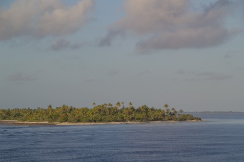
We ate at Le Verandah for lunch, and it was packed, so we had to eat outside, but frankly that was nicer anyway, as the temperature was good and it was much quieter. After lunch we went to a short talk on the Tahitian language, where we learned several basic phrases. It was a bit hard to follow, however, since as mentioned above, the Tahitians and the Marquesans have a different language. So we learned all the basic phrases twice, and it was tough to keep everything straight, although we did notice that the Marquesan language has a K whilst the Tahitian language does not. By this time we were starting to see some land, and we decided to head out on the pool deck to read, catch up on the diary, and watch Fakarava get closer and closer.
 |
 |
 |
 |
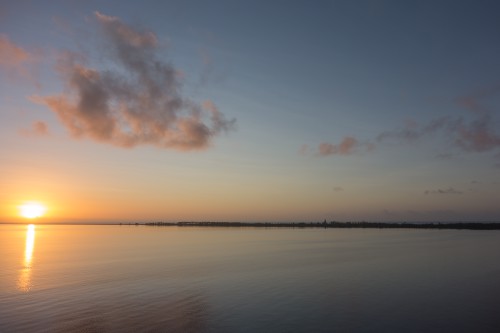
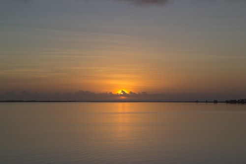
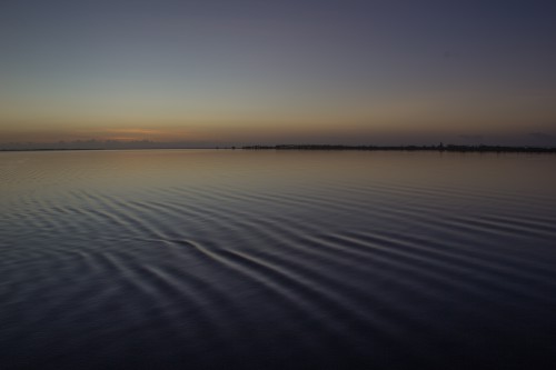
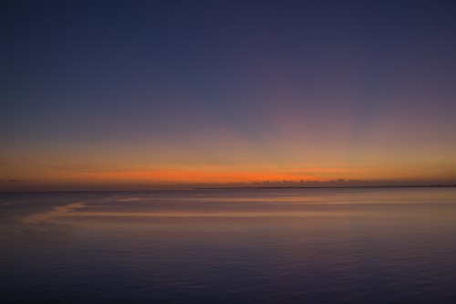
At 4:30, we went down to the piano bar on the 6th floor to play some trivia. Not surprisingly, it was laden with Polynesian questions, and we did pretty well, but came in a close second. If we could keep our Hivas straight (Fatu Hiva, Nuku Hiva, Hiva Oa), we would have come in first. Oh well - first place was a pack of cards, and we don't play cards, so no big deal. We, along with everyone else, went up to the 9th Floor deck for the sunset. The water was finally calm, as we were in Fakarava's massive lagoon, and the sun was out, but there were limited clouds so the sunset was a bit of a dud. That's not really fair - it was quite nice, but could have been better. After the sun set, Crystal went down to get cleaned up for dinner, and Justin waited patiently (or stupidly) on the 9th floor, hoping that after the sunset the clouds might get some nice coloration. We had that once at our friend Mike's house when he lived in Carlsbad village, where the sunset itself was nothing special but then after the sun went down the clouds turned spectacular shades of orange and pink. Tonight was not one of those nights, but well after the sun officially set there were two interesting items of note - one was when some boats went by to put a minor swell in an otherwise glassy lagoon, and the second was when it became evident that some areas of the lagoon were more glassy (perhaps a different depth) than others, which led to some interesting reflection formations.
 |
 |
 |
We grabbed dinner right when Le Etoile opened, at 6:30. It does not require reservations, but it also can seat you with others when it is busy. They didn't ask us to sit with others, as we are convinced everyone on the boat thinks we are honeymooners, rather than married 15 years. We can only assume it's our youthful looks. ;-) The dinner was quite nice, with some foie gras along with soup/salad, followed by risotto (Justin) and lamb rump (Crystal). We were really tired, which probably impacted our enjoyment a titch. After dinner, we went to the piano bar and played a little bit of "name that tune" with each other to the songs of Marius, who plays both the piano and the violin. Crystal mopped the floor with Justin, getting 100% of the songs before he did. We also chatted with the bartender, Efren, about the Philippines and the pros and cons of Clark Air Base closing on Luzon. According to Efren, since the US is not there any more, China feels a lot more empowered, and has started appropriating Philippine islands, including some where they've just up and built air bases in the face of the Philippines. We didn't have anything to contribute to this, but it was fascinating hearing the opinion of a local actually impacted by something, rather than a talking head from thousands of miles away. After some drinks, we went up to listen to Zack Lowe's podcast with Neil Olshey (the Trail Blazer's GM) about Seinfeld trivia, and we asleep in no time (that's no reflection on the podcast, which was awesome - Zack Lowe is the bomb - we were just exhausted).