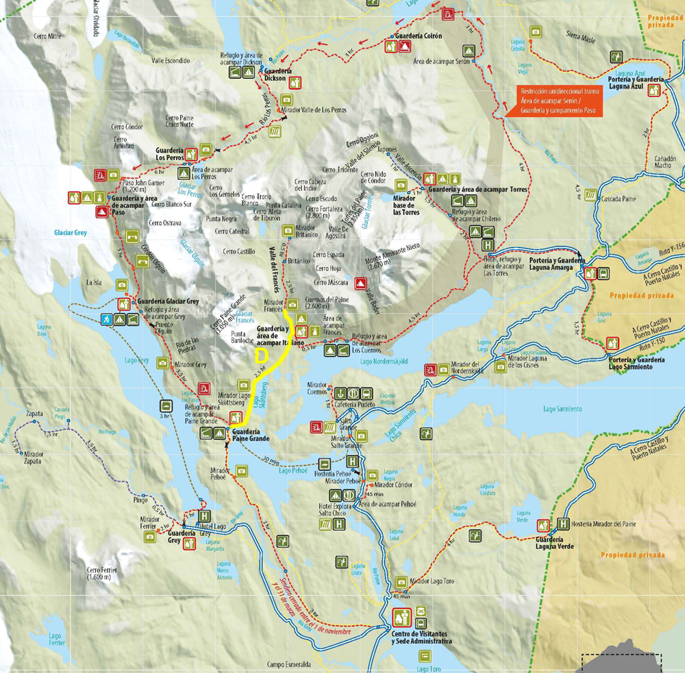
We got a pretty good night's sleep - something about all the walking and eating probably helped. We grabbed a quick breakfast, then came back to add our various layers, then went to the common area to meet everyone. There were three groups doing different type trips in the French Valley, and we were on the boat with all of them. Erica was with us and Kelsey and Apurva, Dennis was with a New York family of Persian descent, and Chino was with the Costa Rican couple. The one we were scheduled for, the hike to the plateau, is 11.3 miles and 1427 feet of elevation gain.
 |
 |
 |
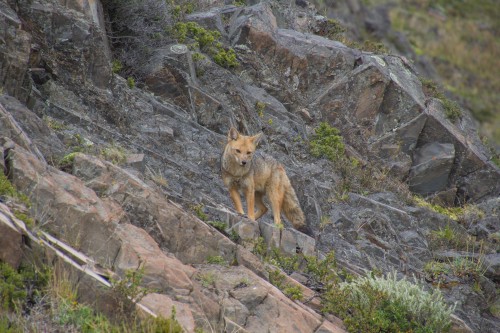 |
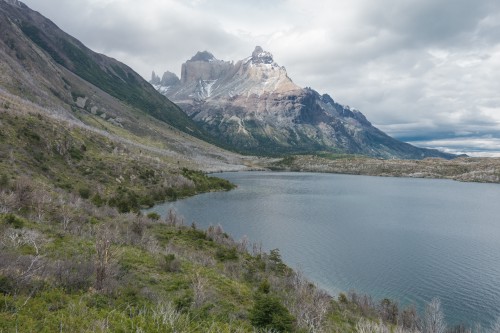
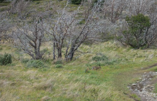
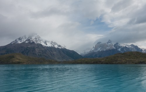
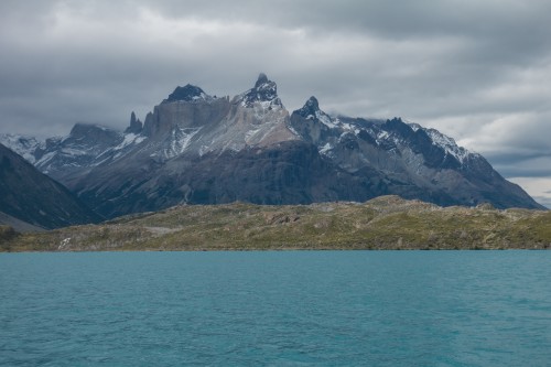
The boat took us across Lago Pehoe, from the east to the west, where we got off at the pier at the Paine Grande Lodge. We'd taken the same boat in 2008, but then we went west towards Grey Glacier; this time, we were headed east to French Valley. As we got off the boat, not too far away there were a couple small red foxes, who didn't seem the least bit wary of any of us. We used the facilities, and were the second group up the trail. We started by Lake Pehoe, then went into the "forest." The forest is just burned trees now, because five years ago, at the end of 2011, Israeli tourists burning toilet paper started a fire that eventually burned down over 130 square kilometers of forest. Since lightning is a very unusual occurrence in Torres del Paine, none of the trees have any real resistance to fire, and also do not regrow quickly at all. Indeed, even though the fire was five years ago, there was no real evidence of any trees starting a comeback.
 |
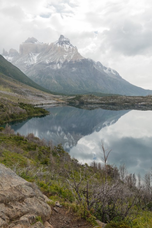 |
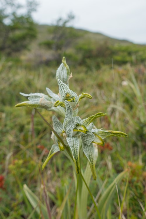
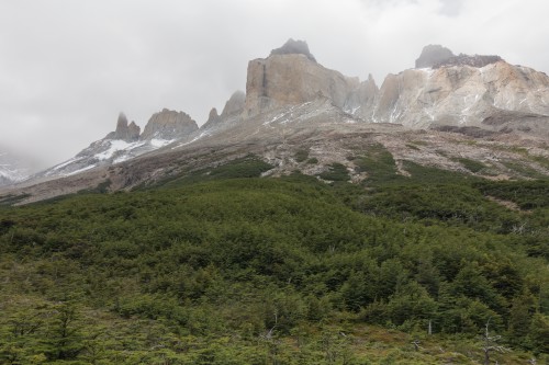
The hike through the forest was flat, easy, and kind of surreal because of all the burned trees. We spent the time chatting in and amongst the 5 of us. There was a hanging glacier on Paine Grande to our left, and the Cuernos were in front of us and to our right. The weather was okay, but gray with low clouds, so we couldn't see nearly as much as we could have. Even though this was the "French Valley" hike, most of the beginning of it was just walking counter-clockwise around Paine Grande to get to the entrance to the valley. There was a surprising about of ground orchids around, with a lot of different colors, and different veining on the flowers.
 |
 |
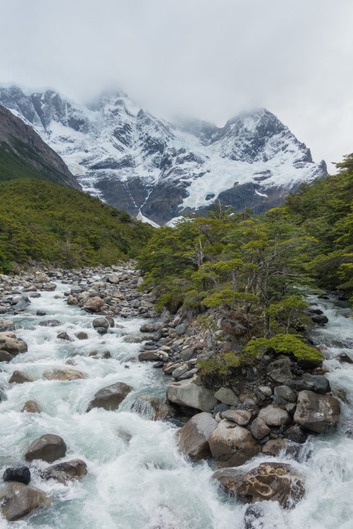
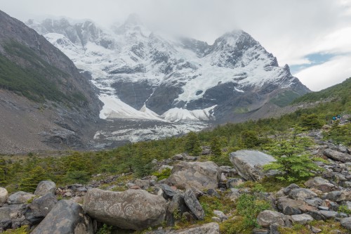
After a few hours, we started going uphill a bit along the bank of the river. Shortly thereafter, we took a rope bridge across the river, and arrived at the Italian Camp campground. From here, Erica told us we were going to head more uphill, and the footing was going to be not as good, as we'd be walking over the moraine from where the glacier used to be. Kelsey wasn't sure about her knees, so she and Apurva stayed at Italian Camp, to be met by Chino, who was with his group behind us. The two of us and Erica continued up to the plateau.
 |
 |
We were more or less walking on the moraine, going across small creeks here and there. It was cold and windy, and when we walked past a giant rock, we noted a Japanese couple on the downwind side of the rock, enjoying a brief respite. Just after passing them and the rock, we heard a giant cracking sound, and on the other side of the valley there was a huge avalanche. It started near the top of the mountain, and caused a giant cloud of ice and snow working its way down the mountain, starting numerous smaller avalanches along the way. Eventually there were "waterfalls" of ice and snow in different places, working their way down to the glacier at the bottom of the mountain. Erica indicated it was the largest she had seen during her time at Explora. We were lucky enough to catch it on video.
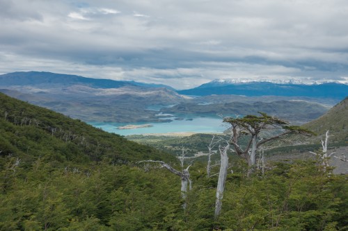
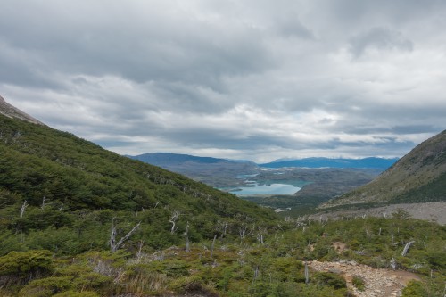
As we neared the end (or at least, where we were slated to turn around), there were a couple steep parts, including many places where we needed to grab tree limbs, ropes, or boulders. We met Dennis' group briefly, and told them to grab Kelsey and Apurva if by chance Chino and his group hadn't made it there yet. It had cleared up a little bit, and we could see a decent amount. Back behind us was the clearest, with views of the river, and various lakes in the background to the south.
 |
 |
 |
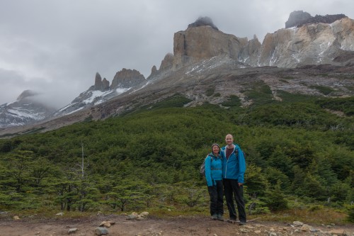
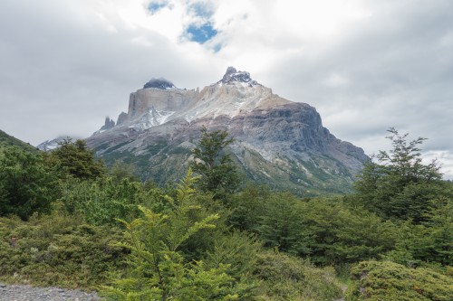
We, along with about 50 other people, grabbed lunch at the "top," the French Valley lookout. The trail actually continues to British camp, and that is offered as a full day hike as well, although it isn't popular due to its long length. Supposedly, the view at British camp is even better, but given the length of the walk, we'd want some assurances it was going to be a clear day if we were going to go. Erica had packed soup, hot water (for tea or coffee), condiments, and brownies for us. We had packed a couple small sandwiches; we got the better of the deal. The number of people at the plateau was a bit bothersome, but not nearly as much as all the bugs. There were flies everywhere, and made even taking pictures a problem. After finishing lunch, we took a couple pictures for posterity's sake, then headed back down the way we came.
 |
 |
The walk down was better than expected - perhaps it was drier than when we walked up, and the footing was better? It was just us and Erica chatting about all sorts of stuff. Ironically, we brought up a number of things that she had just learned or discussed literally the night before, including the "Wallace Line" chapter from the book about Krakatoa and Jane Goodall and her work in Africa. She told us that the head guide at Explora, Tim, had actually met Jane Goodall the year before for a dinner. We also talked about a possible new El Chalten property for Explora, and how that might be developed. With all the glaciers around, there is plenty of fresh water, and we a small pond of what looked to be the clearest water we've ever seen - you almost couldn't tell it was there.
We got back to the boat about 1 minute after the Costa Rican couple and Chino; we hoped Kelsey and Apurva had already made their way back. The boat captain had beers for us, which was very welcome after the long day of hiking. Erica got to drive, but not park, the boat on the way back. We got back to the hotel sometime between 5 and 6, and got cleaned up, then went to drink up. In the bar area we saw Kelsey and Apurva, and chatted about how they got back. They had meditated for a bit, and then saw Dennis and his group and came back with them. While chatting with them, we also met Tim for the first time, and showed everyone the avalance video we got.
 |
 |
When it came time to pick our excursions for the following day, we had an eye towards the following two. We were told the weather tomorrow wasn't going to be as good as the following two, and we figured the following two would be longer, more difficult hikes, so we decided for an "easy" day tomorrow, with two relatively flat, relatively short hikes. There were no tables for dinner, so we grabbed another drink, and then ate dinner on the later side. There wasn't much of a view tonight, with clouds pretty much everywhere. We grabbed one more drink after dinner, then went to sleep.


